Aerial Triangulation
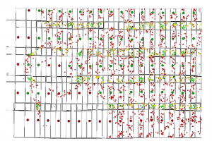
Aerial triangulation is the densification process of Control Points used to establish a correlation between aerial images and the Coordinates System of the mapping, starting from a few known coordinate positions from both systems (photo and terrain). The purpose of aerial triangulation is to guide images captured in such a way that any point surveyed on these will have a coordinate related to a previously defined system. It is an essential step to perform photogrammetric restitution and orthorrectification activities.