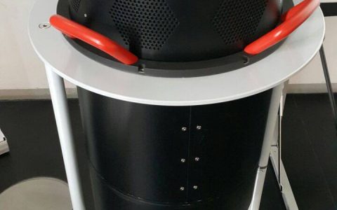
(Português do Brasil) CountryMapper – O novo sensor híbrido da ESTEIO
Sorry, this entry is only available in Português do Brasil.
Sorry, this entry is only available in Português do Brasil.
ESTEIO’s history began 55 years ago, with its foundation in 1969. Technological innovations have always paved the company’s way. In countless moments in our history, we have pioneered the …
Sorry, this entry is only available in Português do Brasil.
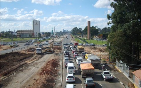
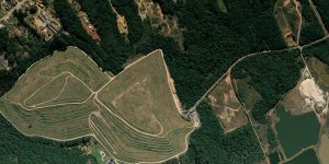
With the easing of the new Coronavirus pandemic, the geotechnology market has been showing clear signs of warming. To keep up with this growing demand, ESTEIO, once again, bets …
Sorry, this entry is only available in Português do Brasil.
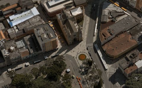
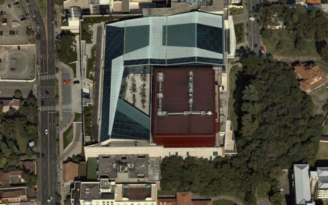
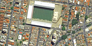
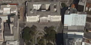
Zoom and part of the Pixel Carpet from ESTEIO’s ADS100 sensor – GSD 5cm – 20.000 x 186.648 pixels · 3.778 Mpix – Curitiba One of these days, I was …
In 2006, ESTEIO pioneered the highest technology in digital airborne sensors in the Brazilian market. At the time, we invested in the Leica ADS40 trilinear sensor. In 2020, amidst a …
Sorry, this entry is only available in Português do Brasil.
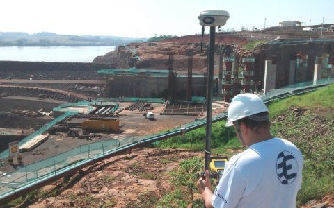
At last, the resolution #419 of May,2-2017 of ANAC (National Civil Aviation Agency) – General Requirements for Remotely Piloted Aircraft (RPA) for Civil Usage – RBAC E 94 – was …

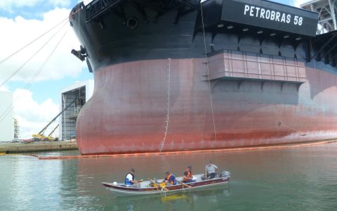
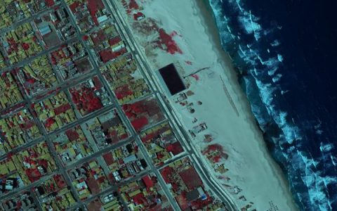
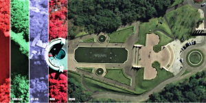
ESTEIO used the HxGN Leica RCD30 Penta aerial sensor to perform an aerial survey at the Vila Olímpica Park in Rio de Janeiro, venue for the 2016 Olympics Games. The …
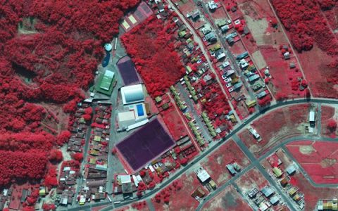
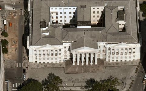
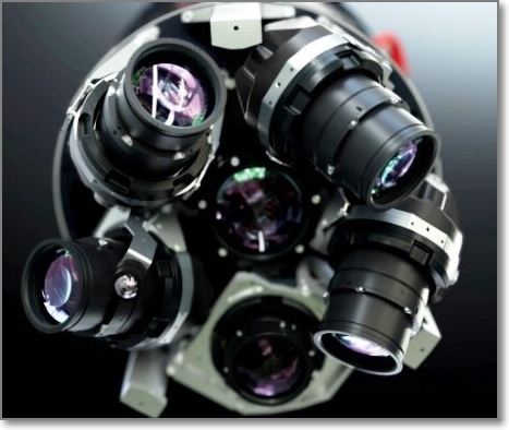
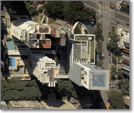
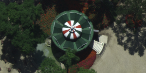
Enjoy the quality of the images of the city of Curitiba captured with the brand new HxGN Leica RCD30 penta digital camera. To get further details of this technology, please …
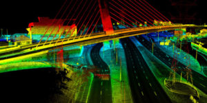
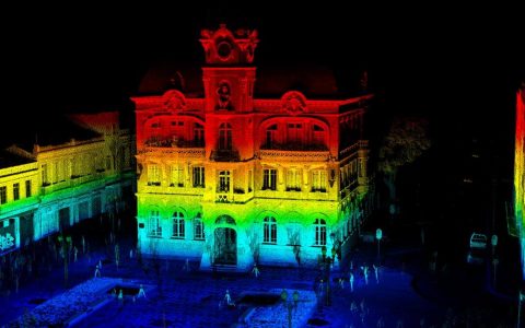
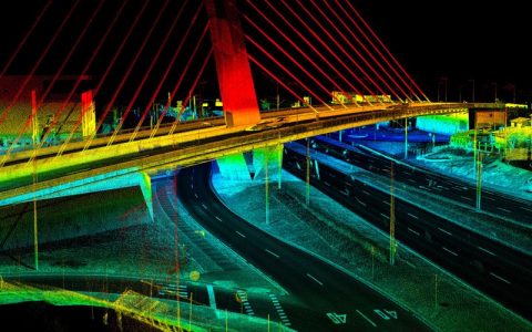
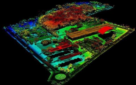
Composition image – Viaduto Estaiado of Curitiba/PR. This survey was carried out by ESTEIO with the mobile terrestrial laser equipment HxGN Leica Pegasus One.