
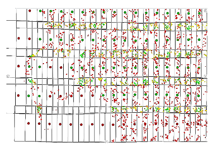
Aerotriangulation
Control point densification service to correlate aerial images with the mapping's coordinate system.
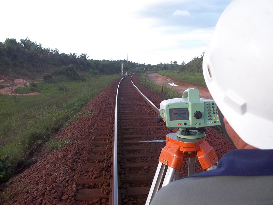
Ground Control
Field survey of planimetric and altimetric coordinates using GNSS and total station technologies to support mapping projects.
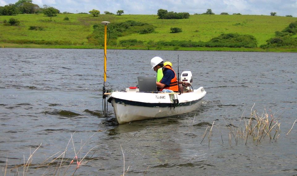
Bathymetry
Bathymetric surveys to determine the depth of rivers, lakes and bays with cartographic representation through bathymetric contours.

Cadastral Surveys
Technical, real-estate and multipurpose cadastral survey services for taxation, expropriation, land tenure regularization and utility network management.
Photogrammetric Capture
Planimetric and altimetric capture and representation of a region from stereoscopic models, in conventional or digital media.
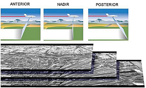
Digital Aerial Photogrammetric Coverage
Capture of digital aerial images with the ADS100 sensor, combining high geometric and radiometric resolution in the mapping process.
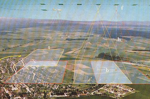
Aerial Photogrammetric Coverage
Acquisition of precision aerial photographs using conventional aerial cameras for cartography, planning and engineering purposes.
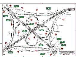
Highway Engineering
Studies and executive highway engineering designs, from technical feasibility to geometric design, earthworks, paving and signage.

Construction Management
Macro-management, inspection, planning, measurement and technical reporting services for engineering works.
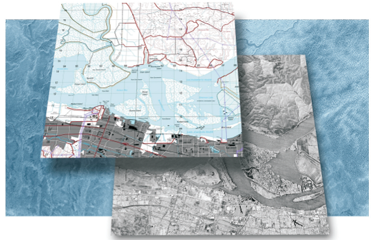
Interferometry (IFSAR)
Use of the GeoSAR airborne radar to generate digital elevation models and radar imagery in hard-to-access areas.
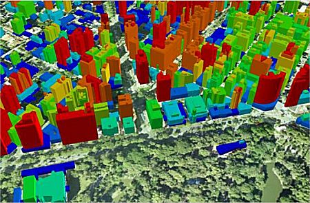
3D Urban Modeling
Creation of three-dimensional city models, from CAD, GIS or navigable environments, for urban planning and visualization.
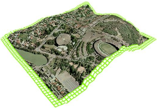
Orthophoto Map
Digital cartographic product that combines the rich detail of a photographic image with the geometric quality of a line map.
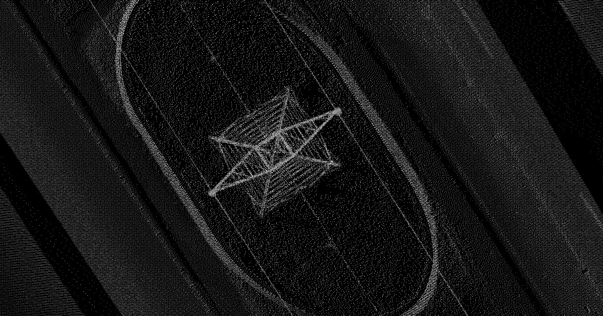
LASER Profiling for Transmission Line (TL) Implementation
Airborne LASER profiling and supporting topographic surveys for the design, implementation and monitoring of transmission lines.
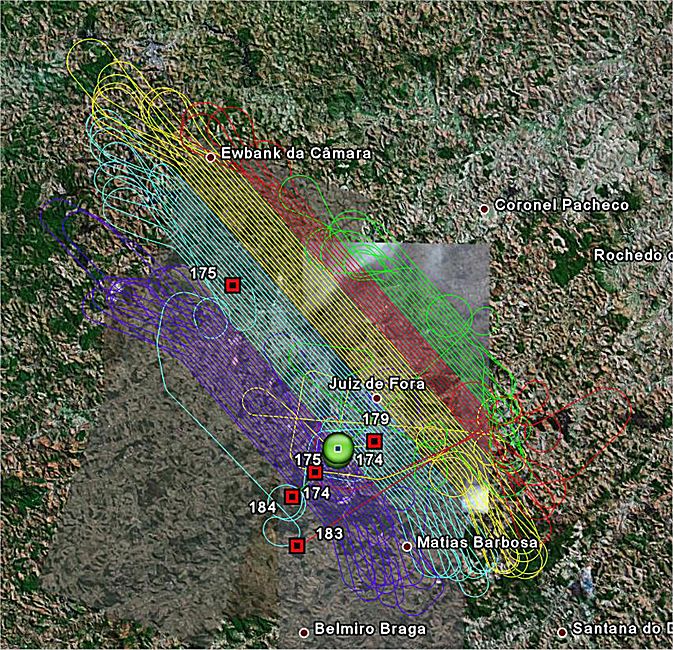
PPP (Precise Point Position)
Precise point positioning technique used in trajectory post-processing for aerial photogrammetric and GNSS surveys.
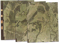
Photographic Processing
Development, printing and verification of aerial photographs, with production of photo indexes, mosaics and enlargements.
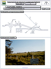
Special Services
Methodologies and technologies to support pipeline implementation, control and monitoring, including GIS and right-of-way re-surveying.
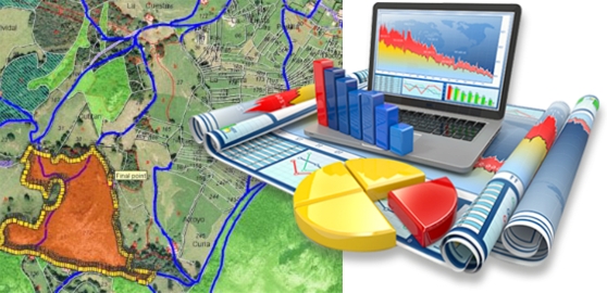
Geographic Information Systems (GIS)
Geographic Information Systems used by ESTEIO to manage, monitor and integrate cartographic and cadastral data for engineering projects.
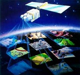
Digital Image Processing
Processing of satellite imagery and remote sensing data for thematic mapping, image maps and environmental studies.
Executed services
Executed services
Explore technical milestones and projects recorded in ESTEIO’s official history.
2013
Leica ScanStation C10
In 2013, ESTEIO employed Terrestrial LASER technology to survey subway stations in Belo Horizonte in order to obtain as-built data. For this activity, the Leica ScanStation C10 was used, with a range of up to 300 m, a 360° x 270° field of view, a frequency of 50K points/second, and versatility for scanning both indoor and outdoor areas. The point clouds and as-builts were processed with Leica Geosystems' Cyclone software.
View full history →2014
Mobile Mapping Systems (MMS)
In 2014, ESTEIO added Mobile Terrestrial LASER (MLS – Mobile LASER Scanning) or Mobile Mapping Systems (MMS) technology to its portfolio. These Mobile Mapping Systems (MMS) allow the collection of 3D information for thousands of points along a road, in addition to images and/or video, while traveling at normal road speeds. The LASER performs a 360° scan of the road corridor with a range of up to 150 m, measuring 1 million points per second. The cameras capture 360° images around the vehicle at 2 Mpx resolution with 8 frames per second. Horizontal and vertical quality is centimetric when control points are used. ESTEIO mapped Avenida das Torres (Av. Comendador Franco, which connects Curitiba Airport to the city), carrying out four types of surveys over a 16 km stretch – Mobile LASER, Static LASER, Aerial LASER and Orthophotos, in an unprecedented integration in Brazil that generated technical data of great value for the revitalization projects of this avenue.
View full history →2018
R2Sonic Multibeam Echosounder
In 2018, ESTEIO acquired an R2Sonic model 2022 multibeam echosounder from R2Sonic Inc (USA). This equipment is a compact, wide-band multibeam sonar suited to a variety of bathymetric surveys and required for surveys with detailed insonification of river, lake, estuarine or marine beds in special order, 1a and 1b (per IHO S-44) surveys of navigation channels for locating obstacles and objects.
View full history →2022
Leica CityMapper H2 Hybrid Sensor
In 2022, ESTEIO acquired the Leica CityMapper H2 sensor, manufactured by Hexagon Leica Geosystems (Switzerland), with the following configuration: Hyperion2+ multi-pulse LASER at 2,000 kHz with recording of up to 15 returns; nadir camera with an 80 mm focal length in the RGB and NIR bands; four oblique cameras with a 150 mm focal length in the RGB band with 45-degree inclined views. With this equipment, a single pass produces two nadir images, one RGB and one infrared, four RGB oblique images and a high-density LASER scan (2 MHz). The image sensors have lenses developed specifically for photogrammetry and incorporate mechanical Forward Motion Compensation devices, which allow the acquisition of very high-quality images even in low-light conditions.
View full history →2023
G2SMM Terrestrial Mobile Mapping
In 2023, ESTEIO acquired a G2SMM Terrestrial Mobile Mapping system from G2 Airborne Systems (G2AS). It is a technological solution for collecting 360° images on the move in urban or rural environments. It uses a Ladybug 6 360° camera with five 12 Mpx lenses from Teledyne Inc, paired with a NovAtel OEM7700 + STIM300 GNSS/IMU system for georeferencing the captured images. The equipment collects images with positional quality through a portable platform mounted on the roof of a vehicle. Post-processing derives a navigable immersive image, projected onto a virtual viewing dome.
View full history →2024
AGITE Platform – ESTEIO Territorial Management and Intelligence Environment
In 2024, ESTEIO developed the AGITE platform – ESTEIO Territorial Management and Intelligence Environment – with the purpose of integrating a geographic information system (GIS) with an administrative cartographic resource system, establishing a repository database of cartographic, thematic and territorial information for an urban space based on web visualization and administration. With this system, users can publish and manage various activities involving the cartographic, cadastral and territorial management of a municipality, making such information available on a restricted or public basis as they see fit. Spatial and thematic information is presented and managed in a traceable, understandable and easy-to-use way, which in turn improves monitoring and reporting and increases the effectiveness and accountability of urban space management.
View full history →