
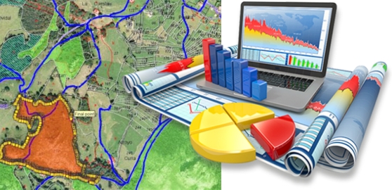
Geospatial Data Processing can be defined as a set of Technologies that integrate the steps of collection, processing and use of information regarding physical space, its crossings, analyses and products.
Currently, due to computer evolution, increased processing power, sophisticated software and the need for greater agility in research for decision making, Geospatial Data Processing technology has expanded its reach significantly.
ESTEIO provides to its clients the following activities in the field of Geospatial Data Processing and GIS:
- Data Treatment in various GIS software such as ArcView (ESRI), MapInfo (MapInfo), AutoCAD Map and GIS development environment on the WEB MapGuide (Autodesk);
- Development of specific computing routines according to the service or client's needs, using internal (Avenue - ArcView) or external (Delphi, Visual C++) system programming languages;
- Information Collection, Storage and Treatment based on their spatial location, using resources such as Aerial Photos, Remote Sensing, Photogrammetric Capture, GPS, Cadastre and others;
- Identifying situations that involve making a decision within a target environment according to criteria established using data processing for GIS data collected;
- Temporal or instant analysis of data related mainly to help in the decision making regarding target environments;
- Data selection and transfer to simulation models capable of evaluating the impact of the alternatives on the environment chosen;
- Presentation in graphic and analytical environment before and after any analysis.