
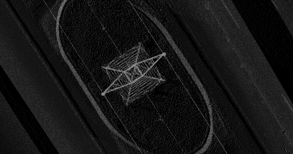
Profiling for Transmission Line (TL) Implementation
ESTEIO has provided services to a large number of public institutions at the federal, state and municipal levels, as well as private companies, in the transmission line sector, with the following main clients:
-
ALTA ENERGIA
-
ABENGOA
-
CEB – COMPANHIA ENERGÉTICA DE BRASÍLIA
-
CELG – CENTRAIS ELÉTRICAS DE GOIÁS S.A.
-
CEMIG – COMPANHIA ENERGÉTICA DE MINAS GERAIS
-
COELBA – COMPANHIA DE ELETRICIDADE DA BAHIA
-
COMPANHIA VALE DO RIO DOCE
-
CONSTRUTORA NORBERTO ODEBRECHT S.A.
-
COPEL – COMPANHIA PARANAENSE DE ENERGIA
-
CPFL – COMPANHIA PAULISTA DE FORÇA E LUZ
-
ELETRONORTE – CENTRAIS ELÉTRICAS DO NORTE DO BRASIL S.A.
-
ELETROSUL – CENTRAIS ELÉTRICAS DO SUL DO BRASIL S.A.
-
FURNAS CENTRAIS ELÉTRICAS S.A.
-
GERASUL – CENTRAIS GERADORAS DO SUL DO BRASIL S.A.
-
LEME ENGENHARIA LTDA.
-
LIGHT SERVIÇOS DE ELETRICIDADE S.A.
-
MENDES JUNIOR TRADING E ENGENHARIA S.A.
-
PROENGE – PROJETOS E SERVIÇOS DE ENGENHARIA LTDA.
-
VALE S.A.
Services range from the simple mapping of right-of-way strips for transmission line implementation, aiming to obtain a point cloud of the main obstacles in an area of interest, to more complete services such as those listed below:
-
Study and implementation of the route;
-
Implementation and marking of alignment vertices;
-
Altimetric survey of interferences;
-
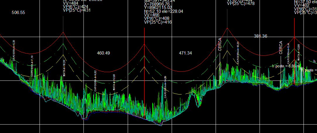
Preparation of plans and profiles for manipulation in PLS-CADD;
-
Field staking of structures (towers);
-
Topographic survey of crossings.
The work methodology basically consists of:
-
Aerial survey, or simply airborne LASER profiling;
-
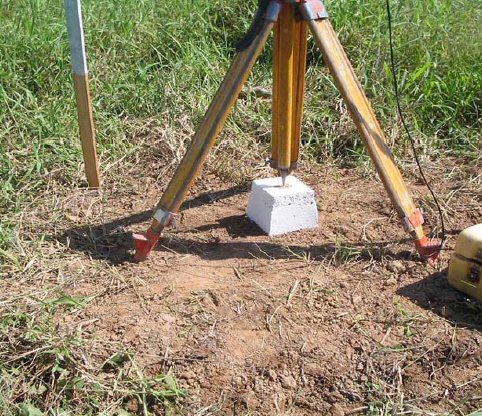
Field topographic surveys for the installation of topographic markers, staking and implementation of alignment vertices and staking of structures (towers);
-
Office data processing: processing of LASER data and cadastral data;
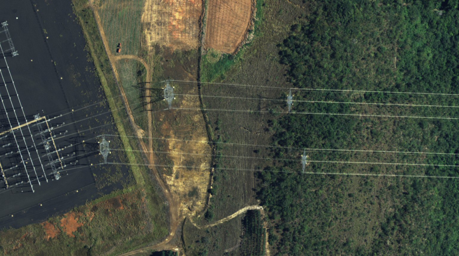
LASER Profiling is a survey technology performed using a LASER scanner installed on an aircraft, which allows for the survey of a very dense grid of ground points. This methodology allows for a more precise and faster altimetric survey of the area. From these points, it is possible to generate several products, such as:
-
Digital Elevation Model (DEM);
-
Digital Terrain Model (DTM), without vegetation, buildings, etc.;
-
Plans containing contour lines generated from the DTM;
-
Hypsometric images generated from the DTM;
-
LASER pulse intensity images (similar to a satellite image);
-
Models for three-dimensional visualization (requires the use of specific software);
Brazilian legislation establishes a single file delivery standard for obtaining licenses; even so, the working method involving Transmission Line implementation projects can differ between power utility companies, and in this sense ESTEIO has a qualified technical team capable of supporting the needs and particularities of each one.
One of the great advantages of LASER profiling for transmission line implementation projects is undoubtedly the speed in obtaining DTM and DSM results. But there are others that must be considered, such as, for example, projects developed in the Amazon region, which presents several peculiarities that differ significantly from other regions of Brazil, such as weather conditions, access, flood-prone areas, forest interference in LASER data, and others.
We work to avoid or minimize losses in team performance resulting from indecision about the execution method or the occurrence of unforeseen adverse situations due to a lack of prior study of the problem.
Client participation in the planning phase is of substantial importance, as this is where all technical and administrative work routines are elaborated in detail, always based on our performance in previous projects and in accordance with the work methods and procedures requested by the client.
With the use of LASER profiling on already-implemented Transmission Line right-of-way strips, it is possible to carry out high-precision monitoring, such as, for example, determining Cable-to-Ground height, identifying locations where vegetation is close to the cables, interferences with crossings of distribution power lines (LV), buildings, etc.
In addition to LASER profiling for implementation projects and mapping of existing Transmission Lines, we also offer aerial photogrammetric mapping services for the generation of digital orthophoto maps, photogrammetric restitution and property cadastral surveys.
Photogrammetric mapping makes it possible to identify and determine important elements for a TL implementation project, namely:
a) Airfields;
b) Areas that require excessive deforestation;
c) Forest reserves;
d) Populated, subdivided or built-up areas;
e) Inaccessible terrain;
f) Geologically unstable terrain;
g) Crossings with transmission and communication lines;
h) Crossings over rivers, channels or reservoirs;
i) Works of social interest (cemeteries, schools, hospitals, churches, etc.);
j) Marshy terrain or terrain requiring special foundations;
k) Indigenous reserves, environmental conservation units and archaeological sites;
l) Railway and highway crossings;
m) Crossings and proximity to oil pipelines, gas pipelines and water mains;
n) Peaks and very elevated regions.