Bathymetry
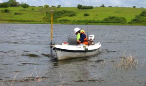
ESTEIO has appropriate technology to perform bathymetric surveys, which consists of the determination of the depth of water bodies (rivers, lakes, bays and etc.), and their subsequent cartographic representation through bathymetric curves, similar to the topographic contour lines.