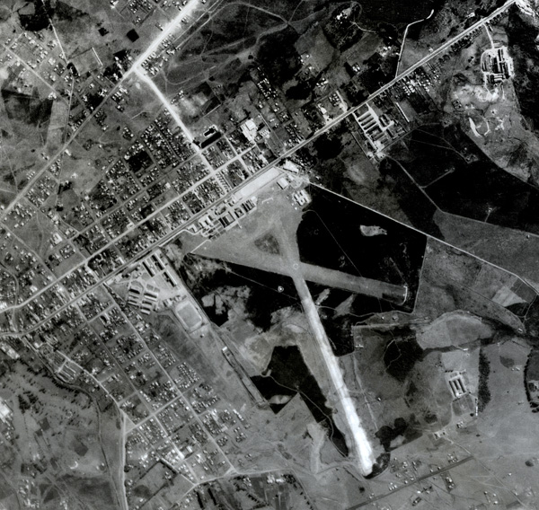
ESTEIO Engenharia e Aerolevantamentos S.A. presents here a multitemporal analysis of the urban growth of the city of Curitiba, through aerial images from 1952, 1980, 1997, 2009, 2011 and 2012.
The multitemporal analysis showcases the urban expansion of the city over these sixty years, making it often difficult to recognize certain landmarks.
Known as the Ecological Capital of Brazil, Curitiba lives up to this title especially when viewed from above, revealing the vastness of its green areas.
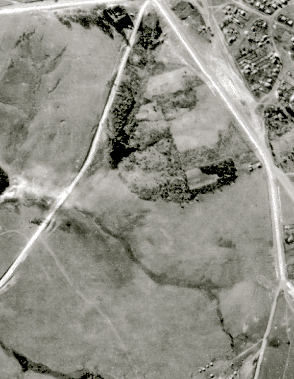
Polytechnic Center of UFPR
Built in 1961 on an area of 500,000 square meters in the Jardim das Américas neighborhood, the Polytechnic Center of the Federal University of Paraná emerged during a phase of university expansion. It currently houses 19 undergraduate courses.
Pontifical Catholic University of Paraná (PUC-PR)
As soon as the Guabirotuba Hippodrome was transferred to the Tarumã neighborhood, the grounds were occupied for the construction of the Pontifical Catholic University of Paraná.
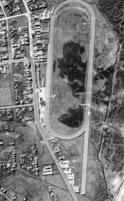
Guabirotuba / Tarumã Hippodrome
Inaugurated in 1899, the Prado was a prominent venue in Curitiba for over fifty years. With approximately 292,726 square meters, the Guabirotuba Hippodrome was more than a racetrack — it was a gathering place for the city’s prominent citizens. In 1958, it relocated to the Tarumã neighborhood.
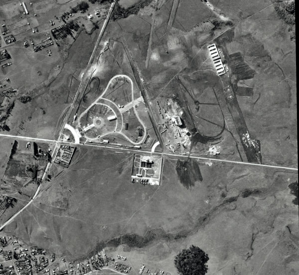
Barigui Park
Barigui Park, located between the Champagnat and Cascatinha neighborhoods, is one of Curitiba’s main green spaces, spanning 1.4 million square meters. Created in 1972 to mitigate flooding and preserve local flora and fauna, it is today one of the city’s most visited spots.
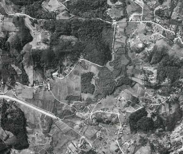
Bacacheri Airport
In the 1930s, in the Bacacheri neighborhood, Curitiba’s first military airbase emerged. Due to its extensive use, in 1980 it was named Bacacheri Airport. Today, it remains a national benchmark as an aircraft maintenance center and aviation training facility.